
Modern techniques in cadastral engineering
Blog post description.
الهندسة المساحية
1/3/20242 min read
Modern techniques in cadastral engineering

Introduction to the Training Program:
The practical training on surveying equipment aims to enlighten both survey engineers and specialized technicians on the following aspects:
Training on the use of surveying equipment in civil works.
Differentiating between various surveying devices and their applications.
Handling various monitoring stations and survey alignment methods.
Utilizing surveying software within integrated monitoring stations, such as Resection, Remote Height, and CoGo.
Cases where monitoring is used in satellite systems.
Differentiating between various types of receivers and their accuracies.
Handling devices in leveling and signing operations.
Training Program Content:
Introduction to Surveying:
- Overview of surveying engineering.
- Definition of surveying.
- Historical overview.
- Importance of surveying.
- Surveying categories.
- Surveying tasks.
Traditional Surveying Equipment Usage:
- The tape (linen or chain, fibrolite, invar): features, advantages, disadvantages, and precautions.
- Compass: parts, types.
- Surveyor's compass, how to use it.
- Vernier compass: assembly, advantages, disadvantages.
- Level: classification by accuracy, configuration, types, steps for adjustment, installation, and readings.
Modern Surveying Equipment:
- Digital theodolite.
- Advantages and disadvantages.
- Maintenance of digital theodolite.
- Specifications and installation.
- Electronic distance and angle measuring device (Total Station).
- Parts of the Total Station.
- Models of Total Stations.
- Main components of the device.
- Care for the device.
- Device storage.
- Setting up the device for monitoring.
- Using the device.
- Error sources.
- Measurement.
- True error.
- Types of errors.
Surveying and Remote Sensing:
- Introduction to remote sensing.
- Historical overview.
- Definition of remote sensing.
- Key elements of a remote sensing system.
- Components of digital images.
- Information sources in remote sensing.
- Photographic sources.
- Non-photographic sources in remote sensing.
- Aerial means, multispectral sensors, infrared sensors, and microwave sensors.
- Satellite terminologies: spatial resolution, spatial coverage, satellite orbits.
- Satellites.
- Urban applications of remote sensing: detailed mapping of cities, traffic studies, parking planning, parks and gardens planning, land uses, urban expansion, industrial complex studies.
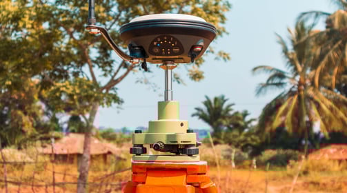
Surveying and Global Positioning System (GPS):
- Introduction to GPS.
- Basic principles of geodetic surveying.
- Important studies related to satellite geodesy.
- Future applications of GPS.
- Stages of GPS evolution.
- Concept of operation of GPS.
- Advantages of using GPS.
- GPS applications.
- GPS coordinates.
- Coordinate systems (geographic and spatial).
- Coordinates used in GPS.
- Point determination on the Earth's surface.
- Local coordinate systems.
- Components of the Global Positioning System (Space segment, control segment, and user segment).
- How GPS works practically.
Surveying and Geographic Information Systems (GIS):
- Introduction to Geographic Information Systems (GIS).
- What is GIS?
- Map projection.
- Map elements.
- Geographic data and representation methods on maps.
- Pre-computer problems.
- Emergence of Geographic Information Systems.
- Benefits of GIS.
- ArcGIS software suite.
- Challenges of the new system in developing countries.
The Fifth Settlement - N 90th Street - Trivium Business Complex - Third Floor - 332
New Cairo City, Egypt