
Using surveying devices for monitoring, measuring angles, and measuring levels
Blog post description.
الهندسة المساحية
1/3/20241 min read
Using surveying devices for monitoring, measuring angles, and measuring levels
Training Program General Objectives:
Provide participants with basic information and modern methods used in angular measurements and leveling.
Target Participants:
Engineers and technicians working in surveying and survey monitoring.
Scientific Content of the Training Program:
Introduction and definitions of surveying instruments, types, and operation methods.
Surveying instruments for angle monitoring: Modern theodolites, Digital theodolites.
Integrated monitoring stations.
Surveying instruments for length measurements: Tachometer devices, Distance rod.
Electronic measurement devices (EDM).
Surveying instruments used for dual measurements (lengths and angles).
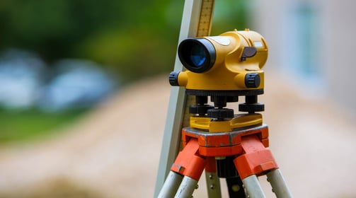
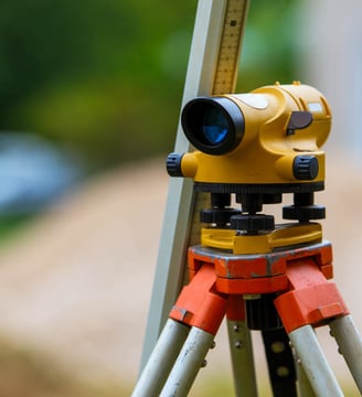
Leveling instrument.
Integrated monitoring stations.
Contour measurement devices (elevation and depression of the ground).
Levelling staff.
Digital electronic level.
Definition of ground level and how contour maps and grid maps work.
Properties of contour lines and uses of contour maps.
Practical training on surveying instruments and monitoring methods.
Reading errors and how to treat and avoid them.
Data input on the computer from integrated monitoring station devices.
Practical and applied workshops.
Evaluation and conclusion of the training program.
The Fifth Settlement - N 90th Street - Trivium Business Complex - Third Floor - 332
New Cairo City, Egypt